Here below, I have tried to include every data, facts and figure, information and visualization. Hope it will be useful. Also, I think you might like my travelogue on my visit to Dhorpatan. Read here. I collected source contents from Dhorpatan Hunting Reserve’s brochure that is handed over to visitors.
What is Hunting Reserve?
According to glosbe.com, Hunting reserve is an area of land where the pursuit and killing or capture of game and wild animals is permitted. (Source: CED)
History of Dhorpatan HR
Spreading over the area of 1325 square kilometre in Rapti Zone’s Rukum district in Mid Western Development Region and Baglung and Myagdi of Dhawalagiri Zone in Western Development Region of Nepal, locating at the high Himalayas topography and in Dhawalagiri mountain range, it is the only hunting reserve of Nepal.
Even though it was established in 2039 Chaitra BS, it was enlisted in government royal paper and declared only in 2044 Baisakh 14 BS. Having Himalayan and high Himalayan geographical conditions and the habitat it has been contributing in conserving the biological diversity, natural resource conservation along with conservation of important rare wildlife and flora and their management and is strongly involved in developing in the tourism.
Also, well-managed hunting facilities are being provided of some animals like Naur, Jharal etc.
For the purpose of making hunting well managed this reserve has been divided into seven blocks and professional hunters assist foreign persons in hunting.
Seven blocks in DHR:
- Falgune
- Varshe
- Dhustung
- Dogadi
- Seng
- Sundah, and
- Surtivang
This hunting reserve spreads over Rukum, Baglung and Myagdi where the most part(60%) lies in Rukum, around 26% in Baglung and rest 14% in Myagdi.
Hunting can be done by taking permission from Nepal Government to the indicated animal and specified time and location. This kind of law doesn’t generate the situation where any species of animal gets extinct or some get overpopulated or harm to habitat or to near vegetations. Because of well-managed hunting procedures, the nation has been successful in collecting foreign currencies and tourism has fostered at the local level.
Objectives of Hunting Reserve
Even though Dhorpatan Hunting Reserve was established with the aim of providing sports hunting facility to Nepal’s and foreign hunters, the main objectives are as listed below:
- to represent geo-natural areas, preserve the ecosystem, of Baglung, Myagdi and Rukum districts of Western and Mid Western Development regions
- by conserving the naturally beautiful geo-scenes, scientific, cultural and refreshing places as well as conserving and managing rare plants and animals develop eco-tourism
- to give continuity to the trend of consuming of facilities by local citizens so that no bad consequence occurs for natural resource and ecosystem
- to increase public participation in the conservation of biological diversity and make them independent in the use of forest resources
Geographical Conditions of Dhorpatan Hunting Reserve
Location
Latitude: 82° 50’ to 83° 15’
Longitude: 28° 30’ to 28° 50’
Height from Sea level: 2000m to 7246m
Borders
- north: Churen Puthha and Dhawalagiri Mountain’s high snow-capped ranges
- east: Darekhani, Jhalke, and Lamakyang hills
- west: Khariwang river, Kulta Bhanjyang, and Jagla Bhanjyang
- south: Surtivang and Uttarganga
- Mountain ranges in the north are covered with snow almost all round the year
- hills in the south are covered with snow only in winter
- Most of the reserve area is covered by high grasslands, steep hills, rocks, summits and snow while rest with vegetations, Kharka, forests, rivers and some cultivable land is also present here
Land Use
Since it lies in the high Himalayan region and cultivable land is so less hence people have been using Dhorpatan area for grazing. During the rainy season, they graze cattle and grow potato, maize, buckwheat at the side of Uttarganga river in Nisheldhor area. As most of the area is covered with kharka, forest, snow-capped mountain ranges, and rocky hills, agricultural land is too less here. According to the Geo-Consumption map of 1986’s GIS map, Landuse of DHR is as below: Land use in DHR in Square kilometreGrazing land forest land barren land agriculture landOther33.6%32.2%32.2%
| Landuse | Square kilometre |
|---|---|
| Grazing land | 444.56 |
| Forest land | 426.6 |
| Barren land | 426.35 |
| Agriculture land | 26.38 |
| Shrub land | 1.11 |
| S.N. | Land Use | Area(sq km) | % |
|---|---|---|---|
| 1 | Grazing Land | 444.56 | 33.55 |
| 2 | Forest Land | 426.60 | 32.20 |
| 3 | Barren Land | 426.35 | 32.18 |
| 4 | Agriculture Land | 26.38 | 1.99 |
| 5 | Shrub Land | 1.11 | 0.08 |
| Total | 1325 | 100.00 |
Climatic Conditions
Summer: 15° to 20° C
Winter: below 0° C
As this reserve spreads over the height of 200m to 7246m from sea level, Temperate, Sub-alpine and Alpine climate prevail. In summer the temperature is from 15° to 20° Celcius while in winter it goes down below 0° Celcius.
Rainfall occurs all round the monsoon season from June to August and from mid-October heavy fog starts to fall and from January snowfall starts. From December, a heavy wind blows from west till April. When there is no snowfall, heavy fog is seen from December to January.
Forest and Vegetations
DHR lies in high mountain and Himalayan region so, forests and vegetations found in Himalayan regions are found here.
3000-4000m
Khotesalla, Gobresalla, Thinguresalla, Ghupi, Bhojpatra, Kadedar Khasru and Guras
4000-5000m
- Dry, Shrub land and high Grasslands(Buki/kharka ) habitat of Naur
- This region is the grazing area of animals reared in home
- covers around 50% of the reserve Medicinal herbs like Yarsagumba, Pachaule, Jatamasi, Nirmasi, Chiraaito, Bishma, Padamchal, Timur are found in this region’s plain grass land and hills
Bhojpatra Berch Betula utilis
| Local Name | English Name | Scientific name |
|---|---|---|
| Bhojpatra | Berch | Betula utilis |
| Gobresalla | Blue pine | Pinus wallichina |
| Bungesalla | Hemlock | Tsuga domasa |
| Jhule salla | Spruce | Picea smithina |
| Devdar | Cedrus | Cedrus deodara |
| Dhupi salla | Juniper | Juniperous spp |
| Khasru | Oak | Quarcus semicarpifolia |
| Agardhupi | Cupressus torulosa | |
| Gurash | Rhododendron | Rhododendron spp |
| Ageri | Lyonia parviflora |
Some of the names of forests here are:
- Raniban
- Thakurban
- Dampaataal
- Narsingvuki
- Chaurivan
- Asaauje
- Munim
- Marpes
- Kalichaur
- BhujiKhung
- Navi Sallathan
- Simpani
- Murchula
- Khukuriban
- Rajban
- Simle
- Kharka
- Rughachaur
- Dhaula falyaghar
- Monsoonmela etc.
Wildlife
32 mammals found here
Main animals found here are:
- Naur
- Jharal
- Thar
- Kasturi Mirga
- Hiu Chituwa (Snow Leopard)
- Habre
- Himali Bear Birds which are enlisted in rare and conserved birds’ list which are found here are:
- Danfe (Lophophorous)
- Munal,
- Chir and 164 other species of birds
Dhorpatan Hunting Reserve is well known not only for vegetations but also as a nice habitat for different species of conserved and other wild animals too. Naur is common in Buki field, whereas Jharal, Hiu CHituwa are also found here.
And Ghoral, Thar are seen in the high number below Buki. In the lower part of reserve Habre, Jangali Kukur, Ratuwa, Himali Bhalu, Chituwa, Bwaso, Musekharayo, Kasturi Mirga are seen. Other then these animals, Badar, Langur, Syal and Badel are also found here.
Danfe , Munal which are in rare and conserved species, are in proper status here and other birds like Hiu kukhura, Koklaas, Giddha, Finch etc can also be observed live.
Religious and Tourist Places
Dhorbarah, located at Deurali which is at the distance of 1km from Dhorpatan Hunting Reserve Office, is a very popular and main religious place here. Every year, during Janaipurnima, the grand fest is organized here.
To attend this Janaipurnima mela, thousands of pilgrimages from Baglung, Rukum, Rolpa, Gulmi etc come here. Hundreds of sheep are sacrificed here during this time believing the desired thing will be fulfilled. Some float the china and Janma Kundali of their deceased parents or relatives here in Uttarganga river.
Buddhist pilgrimages and tourists visit Ekkhutte Gumba and Pakhathar Gumba too. Other than these, other religious places which are worshipped according to their tradition are Sallathan Devi, Maikotko Kot, Gurjakhaniko Barahathan, Chisapani than, Bhandarigau’s Simbarah, Niseldhor’s Village Puja etc.
Tourism Development
Tourism is considered as the backbone of development. From the date of establishment, Dhorpatan Hunting Reserve has been focussing on natural resource conservation, forest and wildlife conservation, managed hunting facilities to promote eco-tourism.
Hunting tourism has fostered and foreign tourists visit this area. Tourists coming from out visit following main places:
Major attractions:
- Putha mountain,
- Churen mountain,
- Gurja mountain,
- Sisne mountain,
- Sundah (Reservoir),
- Pupaal Lake,
- Warmi lake,
- Parmi lake,
- Mandre lake,
- Jalpa lake,
- Marchula lake,
- Putha lake,
- Dhor river,
- Sinha Othar,
- Shiva Cave,
- Rudra lake, etc
For visiting Dhorpatan Kartik, Magh, Falgun and Chaitra months are considered appropriate from weather point of view.
Different organizations like
- Nepal Wildlife Adventure Pvt. Ltd,
- Himalayan Safari,
- Track and Trails Pvt. Ltd, Nepal Wildlife Safari Pvt. Ltd
are conducting well-managed hunting services for foreigners after participating in government tender process and pay a nice amount of revenue to the government for the hunting of wild animals like Naur.
These organizations have been conducting hunting service and been doing marketing and advertisement works too. The number of tourists using this reserve’s route to reach Dolpa is also high. As this reserve lies in Dhawaligir mountain range, tourists enjoy the beautiful mountain view of Dhawalagiri from here.
Jaljala, which is in the eastern border of DHR is considered as a suitable place for Camping. From here, beautiful scenes can be observed. Also, this place is the best choice for research of wildlife and vegetations and observation.
If the tourism infrastructures and information communication technologies could be developed well then Dhorpatan Hunting Reserve can serve as the number once choice for adventure hunting of wild animals like Naur, sightseeing, cultural tourism, research and observation of wildlife and vegetations. Doing this, it would develop this area economically and socially too.
Tourism Infrastructures
Until the infrastructures required for tourists like transportation, communication, hotel, lodge, information centre, campsite etc aren’t available then it becomes really difficult for developing tourism.
Dhorpatan Hunting Reserve is considered as the best tourist place for natural sightseeing, trek, cultural exchange, observation of wildlife and vegetations and for adventure hunting. But the basic infrastructures required for these haven’t been developed well due to which reserve hasn’t been able to make remarkable tourist visits.
For air transportation, here is one airport. The camping ground has been made in different places. The airport is being reconstructed and hoped to resume the air service. Campsite with kitchen and bathroom has been made in Dhorpatan, Chentung, Gurjakhani, Lamsung and Rukum and Campsites of Chentungm Lamsung and Gurjakhani has been renovated and handed over to local women to run, whereas the campsites of Dhor and Taksera has been looked by the reserve.
Due to the lack of necessary hotels, lodges, and tea shops lack facilities is seen. Other than this, local hotel, lodge and tea shop operators haven’t been able to focus on cleanliness and proper service because of lack of proper training and hospitality knowledge.
Upon establishing the proper infrastructures, there is no doubt that the number of tourists flowing here will be drastically increased. In the fiscal year 068/069, 78 foreign tourists have visited the Dhorpatan Hunting Reserve.
| Country | Number |
|---|---|
| Total | 78 |
| Britian | 5 |
| Switzerland | 8 |
| France | 26 |
| America | 10 |
| Poland | 3 |
| Ireland | 1 |
| Newzealand | 1 |
| Australia | 4 |
| Slovania | 2 |
| Canada | 2 |
| Belgiun | 2 |
| Germany | 7 |
| Sweden | 1 |
| Holland | 4 |
| Romania | 1 |
Transportation
Dhorpatan Hunting Reserve is considered very backwards in the viewpoint of transportation. Just recently, roads have been made up to the reserve office. The road isn’t a metalled one and isn’t gravelled even.
Hence, reaching to the office on the vehicle is kind of hard journey mostly during rainy season as the muddy road gets weak. By foot, DHR office lies 3-4 days away from all the district headquarters of Baglung, Rukum and Myagdi. After the opening of the road, the number of local tourists reaching here has scaled high.
Many youths love to come here on bikes. DHR can be reached by charter helicopter services to. Different walking trails have been made by locals to move from one place to other.
Following means of transportation can be used to reach DHR:
- Kathmandu – Pokhara – Baglung- Galkot-Burtivang-Bobang-DHR Office on vehicle minimum 2days trip
- Chartered helicpoters from any airports of Nepal
- Kathmandu-Tansen Palpa-Tamnghas-Khara-Burtibang-Bobang-DHR Office on vehicle
- Kathmandu-Pokhara-Beni-Durbang-Takum-Lamjung-DHR
Communication
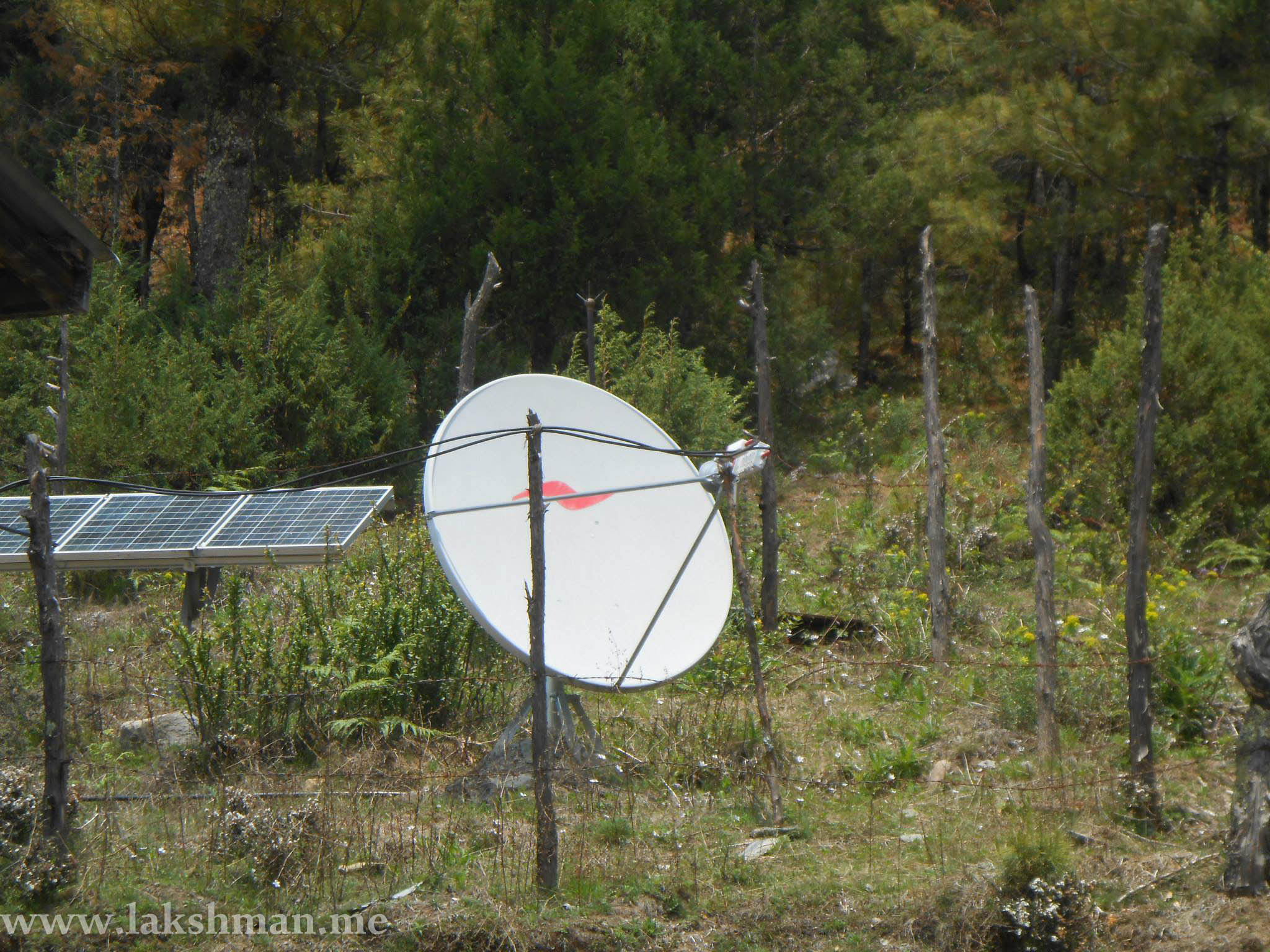
DHR lies very far from district headquarters of Baglung, Myagdi and Rukum and hence, in the past it was really difficult for communication. There were no means of communication except in DHR office which had VHF, Ku Band Communication setting.
But now, it has been about 3 years that communication services have improved drastically here. Now mobile phones can operate. State-owned telecom giant Nepal Telecom has constructed a solar-powered station here which relays the satellite signal. Communication can be done through mobile. But sometimes, as the weather fluctuates, the station becomes somewhat behind to relay good signal.
Also, some villagers have wireless telephone sets. Surfing the internet might be impossible here. And also, as you go into more heights away from the DHR office are, the mobile signal might get lost. There is a facility of electricity, locals have built small hydropower. Other than that, solar panels can be also noticed well.
Locals and Business
Ethnic groups:
- Magar,
- Biswokarma,
- Chantyal,
- Brahmin,
- Chettri,
- Thakali,
- Nauthar(Nine castes): Adai, Mote Adai, Bhandari, Chota Bhandari, Kathayat, Kather, Kumai Khadka, and Thapa
- and Tibetians
Even though the villages are small, people rear animals, and do agricluture to make living. Some people do business in Bhot (China border).
Major crops grown here:
- Potato,
- Maize,
- Fapar,
- Buckwheat
Locals keep on migrating to withstand the temperature. During summer, they take their animals to DHR area to graze and live their while in winter as it is extremely cold, they move down to lower warm places with their cattle.
People generally travel on horses, keep the dog for safety. Also, almost all houses have horses, and the value of a horse is so high, people consider having more horses as more wealth. Also, horse racing and more adventure sports are carried out time and again. The DHR has been providing locals with different facilities.
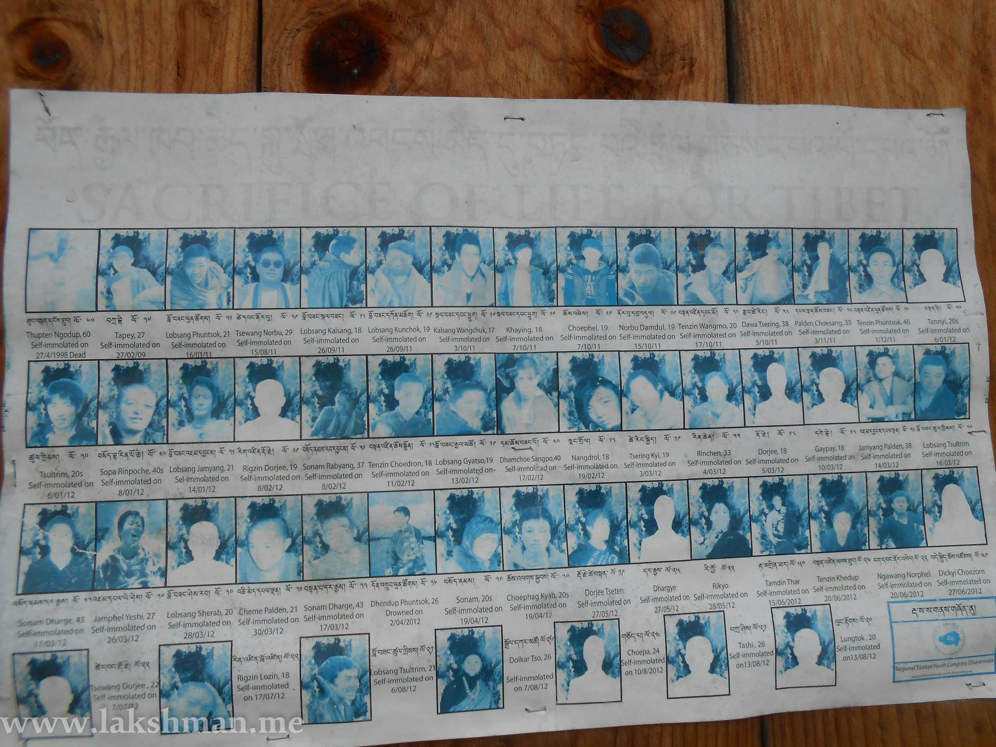
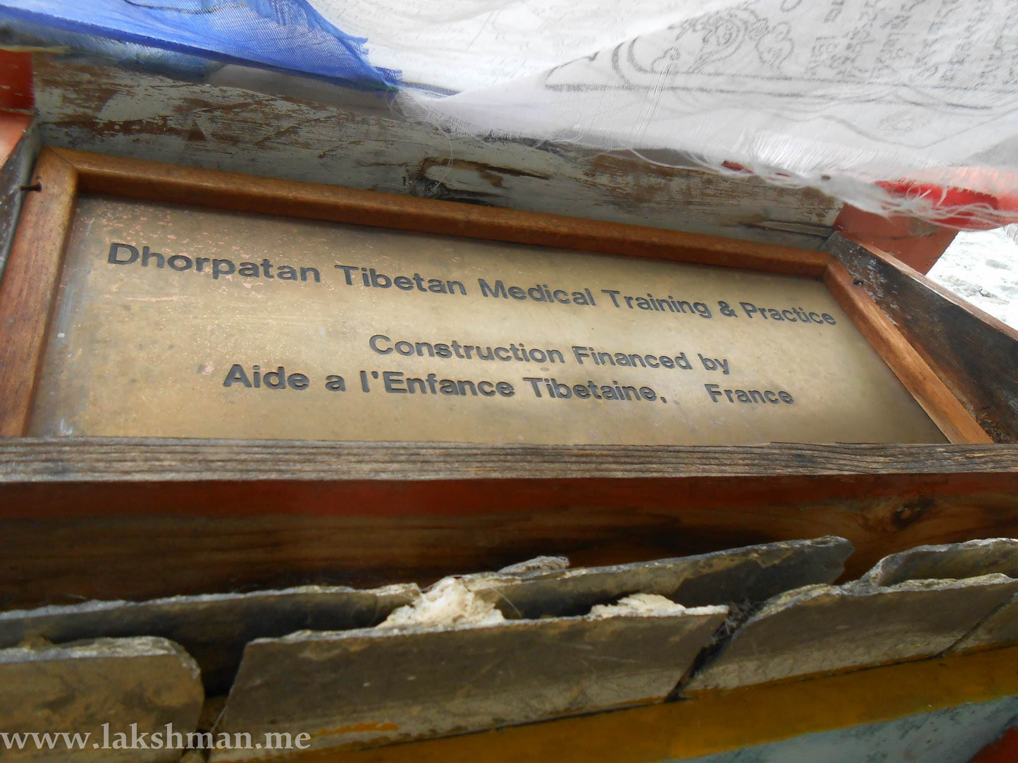
Tibetan Refugees in Dhorpatan Hunting Reserve
Since 1959 AD, Tibetan Refugees have been living in DHR. According to the survey by reserve office in 2056 BS the total population of Tibetan refugees here from 46 families’ is 234. Also, the US government has been supporting refugees. However, the population now might have changed as they might have moved to other places for business and other purposes.
Hunting Management
After receiving the permit paper from National Park and Wildlife Conservation Department, Nepal, after blocky safety is done, 21 days time is given to foreigner to do hunting of wild animals like Naur, Jharal.
Out of seven blocks, Surtivang and Falgune are in Baglung and Dhustung, Dogadi, Seng and Sundaha block in Rukum while Arse lies in Myagdi. Except in Surtivang, in each block yearly quota is decided of Naur and hunting is allowed under the assistance of professional hunters. In the fiscal year, 068/069 BS, 25 Naur and 13 Jharal were hunted.
According to the surveys conducted at different times, following the quota proposal has been made and decided. According to the current declared quota, for the hunting of Naur and Jharal 26 and 11 are quotas for hunting.
Quotas for hunting in different years in DHR
| S. No. | Block’s name | Area(sq km) | 1976 | 1990 | 2007 | 2011 |
|---|---|---|---|---|---|---|
| 1 | Falgune | 327 | 4 | 4 | 4 | 4 |
| 2 | Barshe | 167 | 4 | 6 | 6 | 5 |
| 3 | Dhustung | 201 | 4 | 4 | 4 | 6 |
| 4 | Dogadi | 199 | 6 | 8 | 8 | 8 |
| 5 | Seng | 138 | 4 | 5 | 4 | 5 |
| 6 | Sundaha | 145 | 4 | 5 | 6 | 2 |
| 7 | Surtivang | 148 | 4 | 4 | 0 | |
| Total | 1325 | 26 | 32 | 32 | 30 |
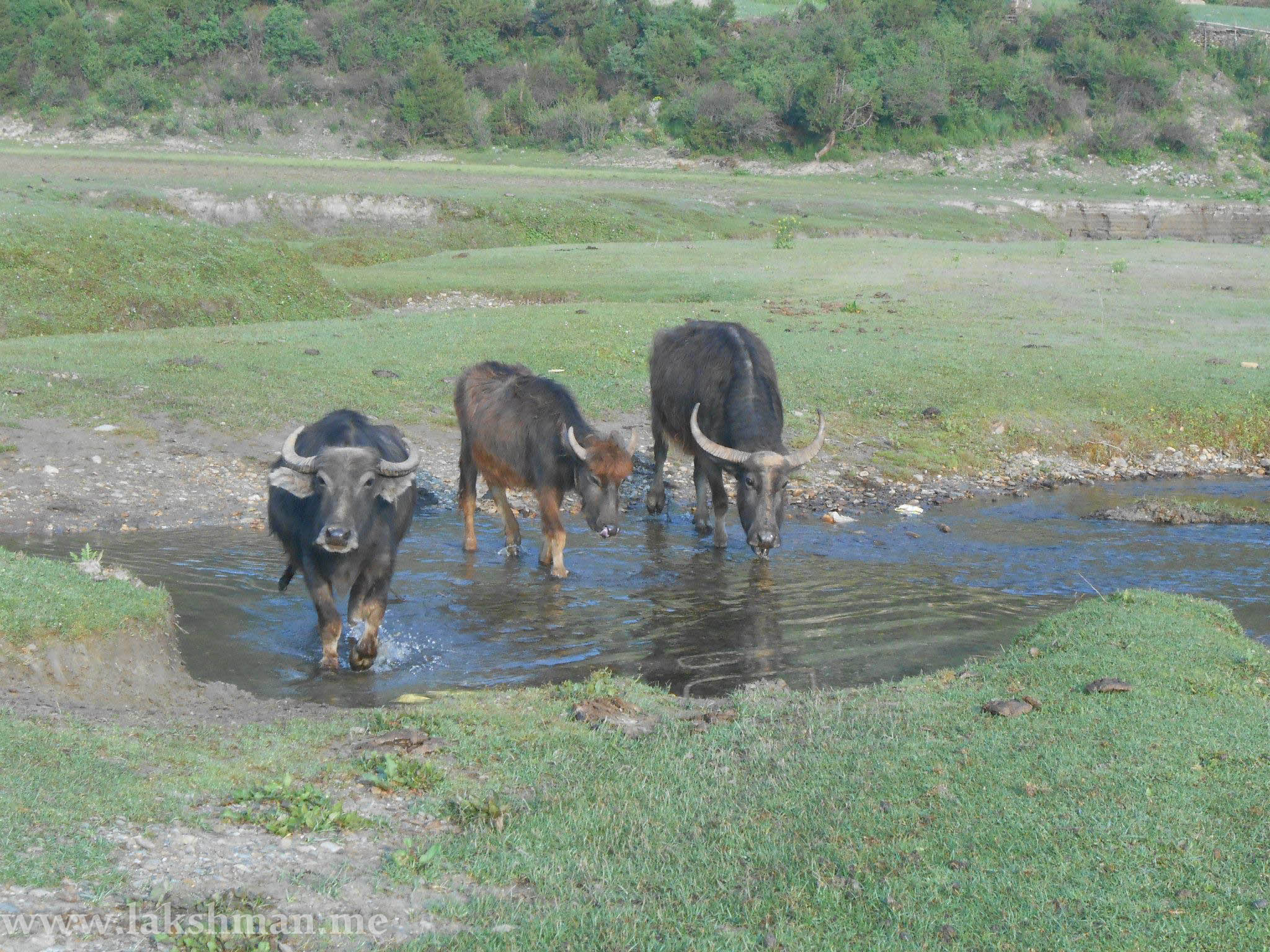
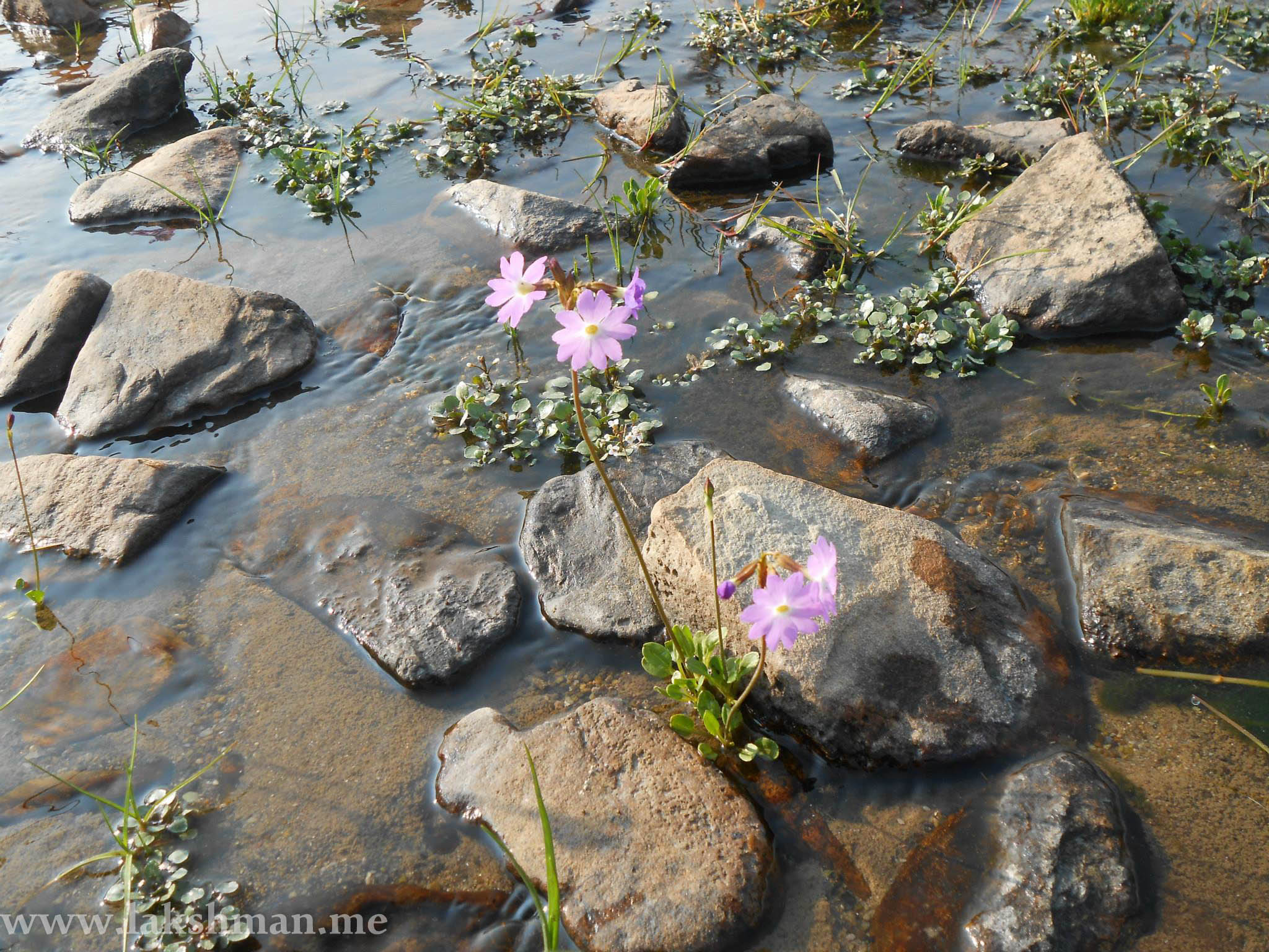
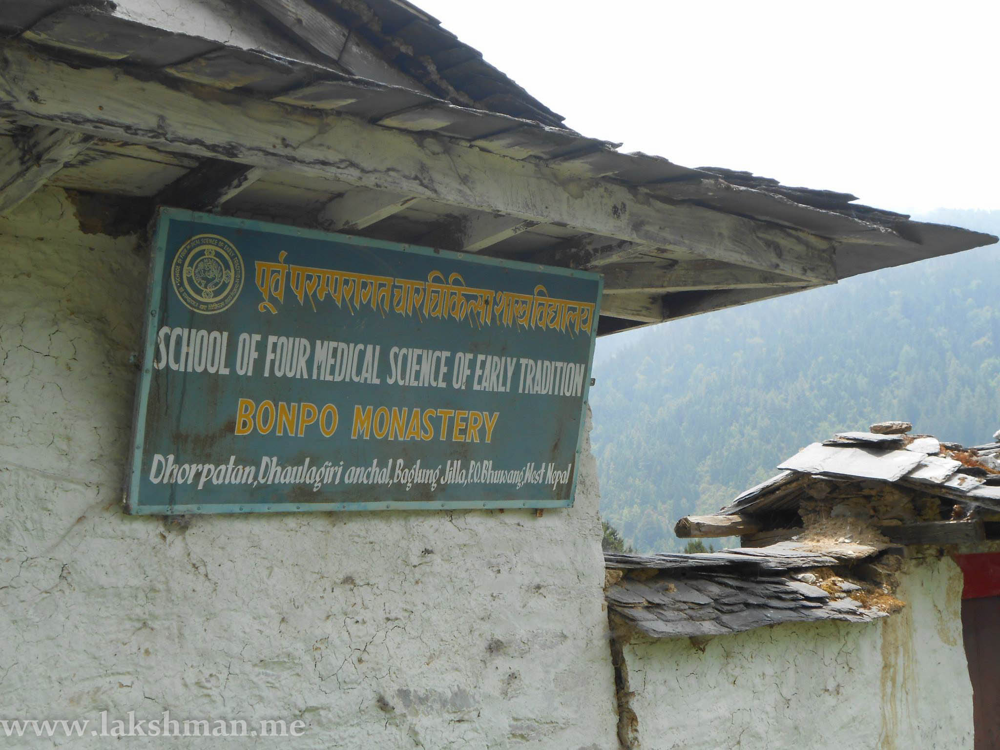
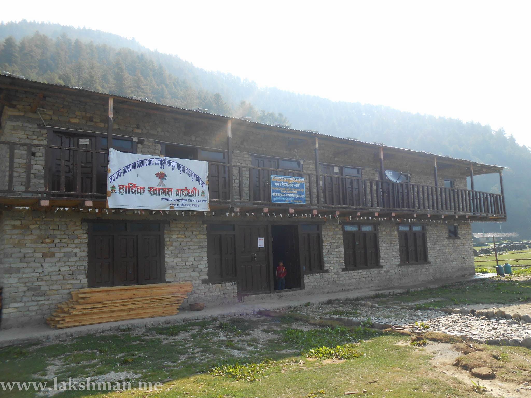
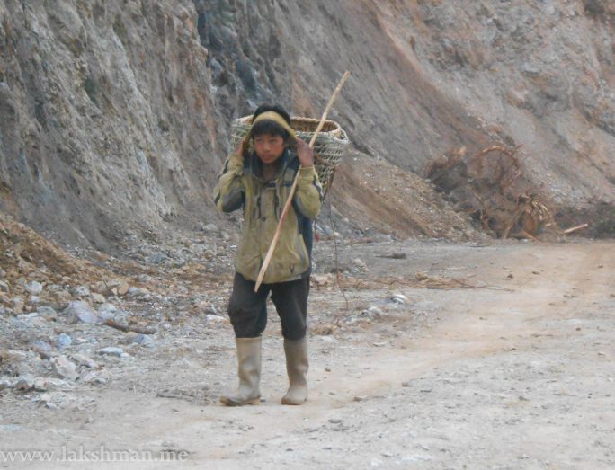
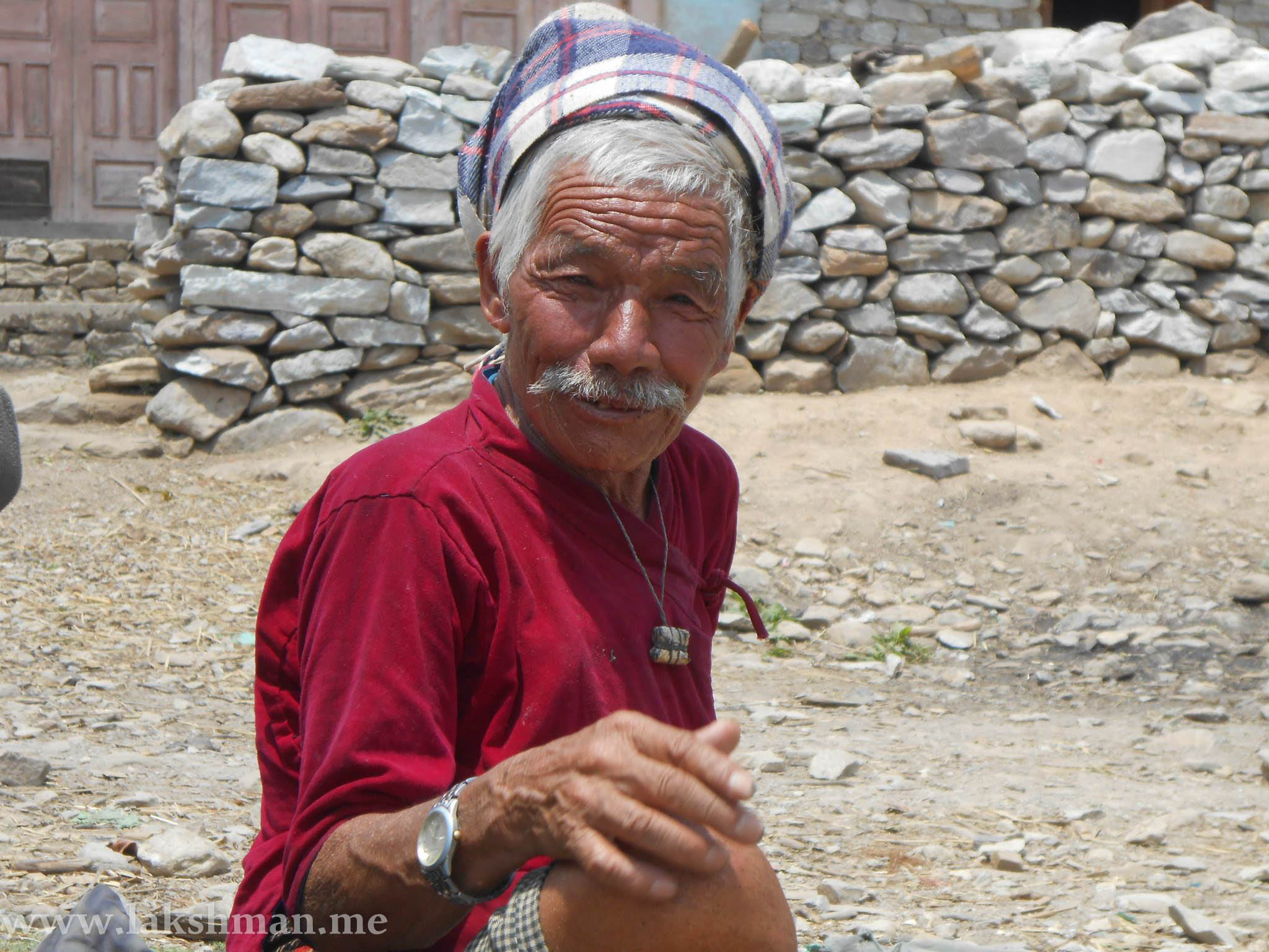
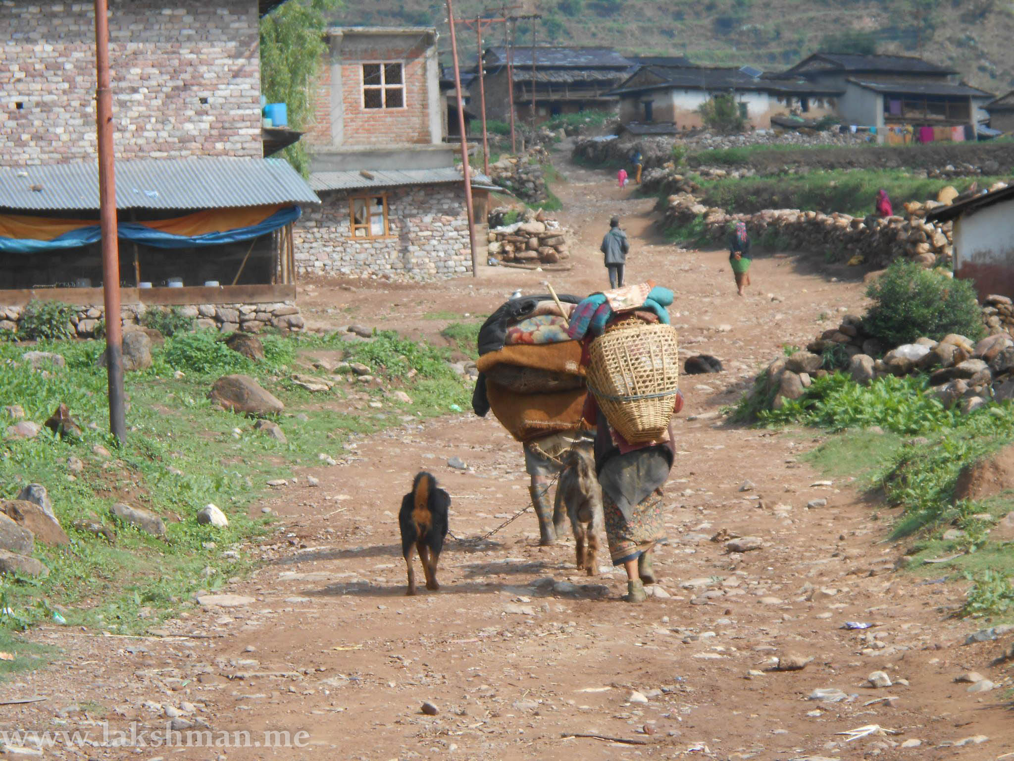
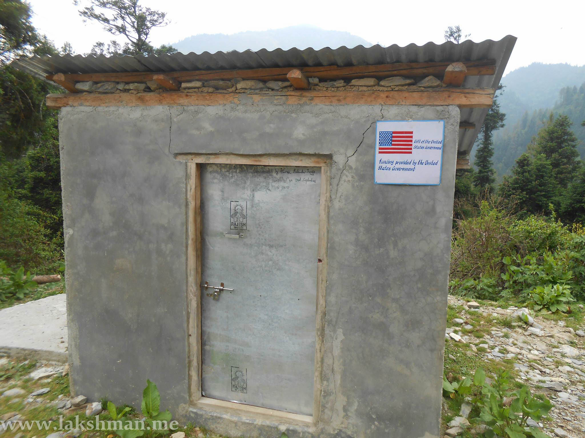
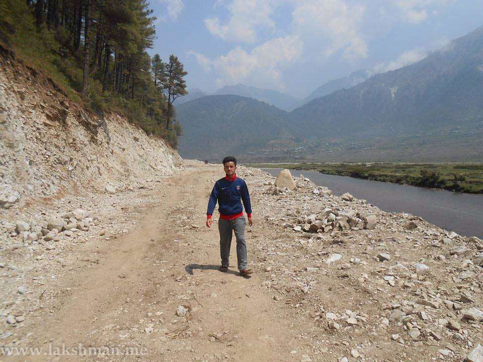
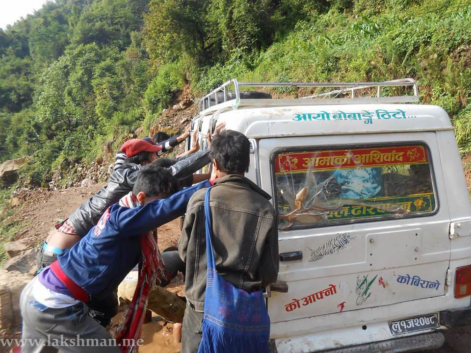
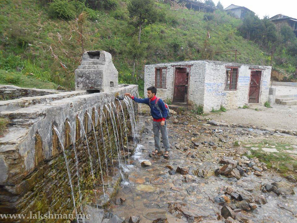
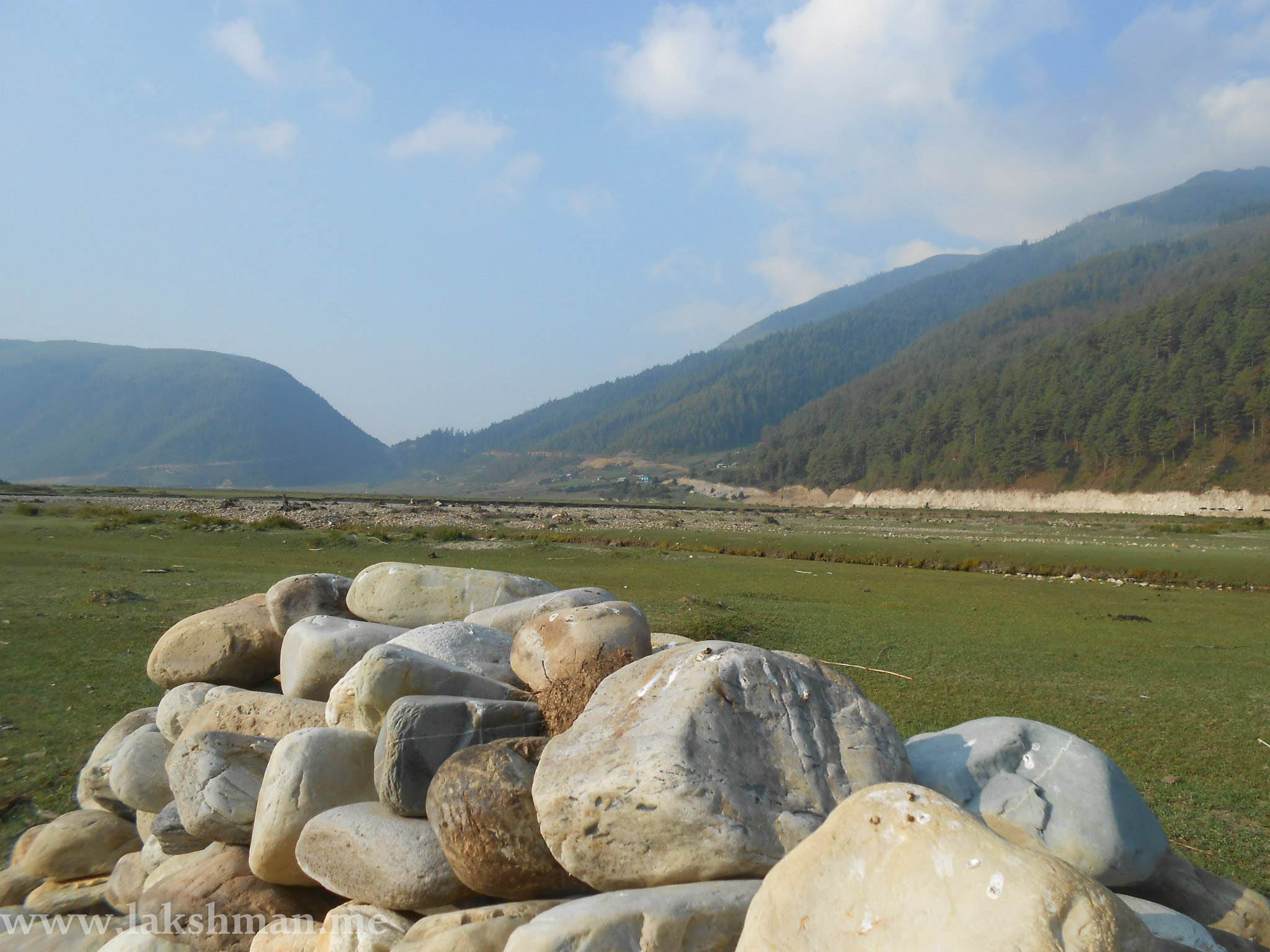
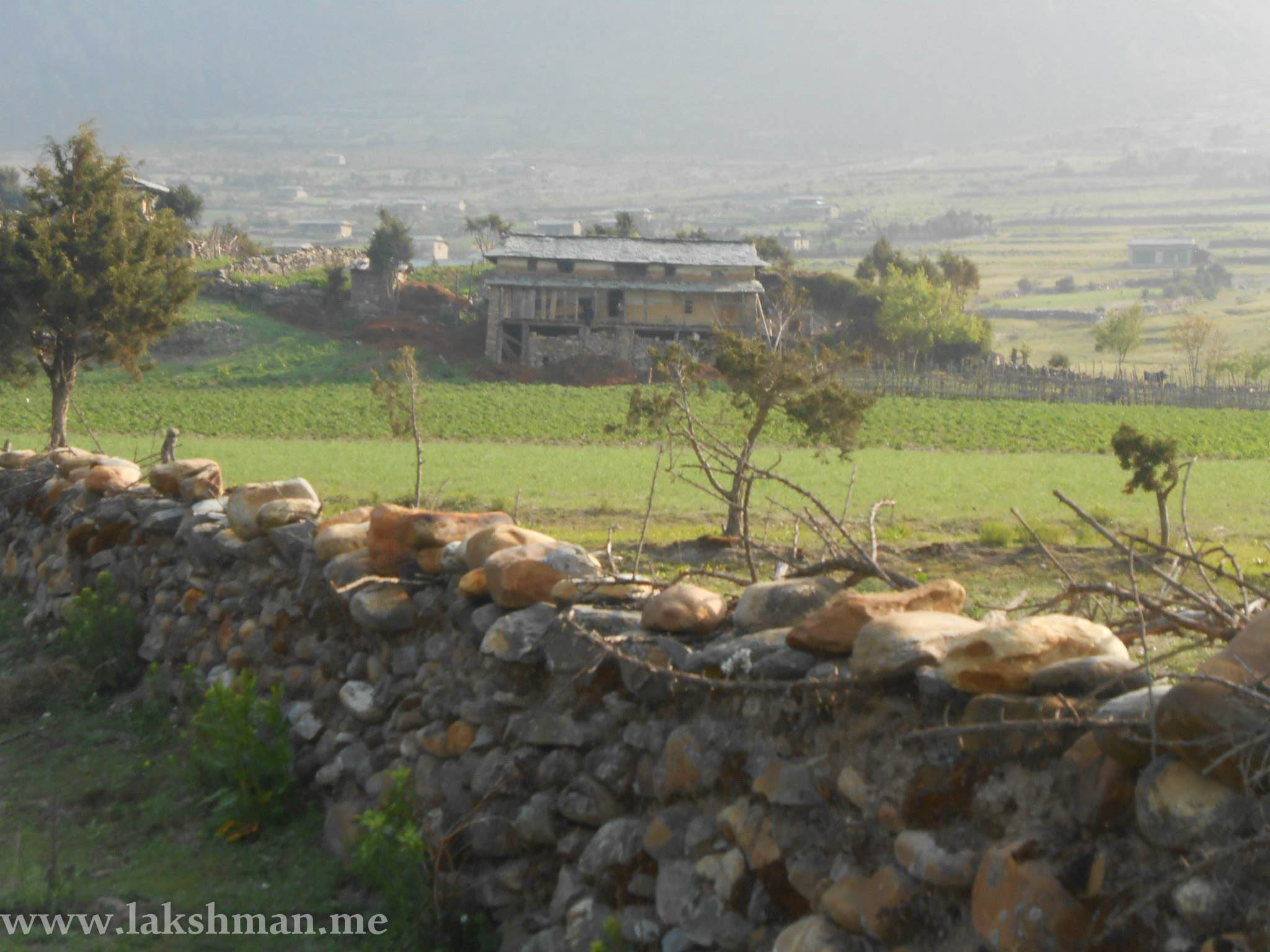
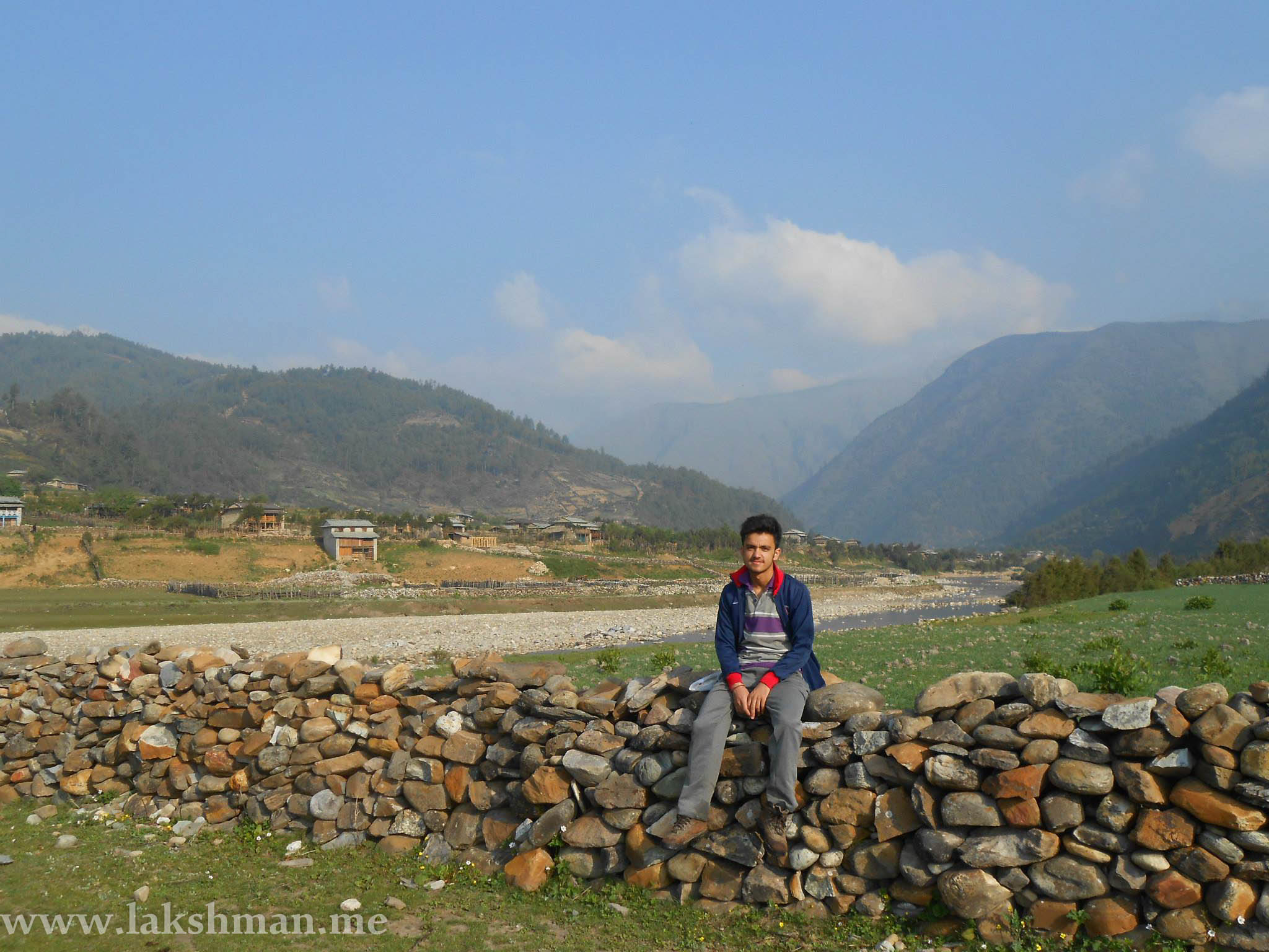
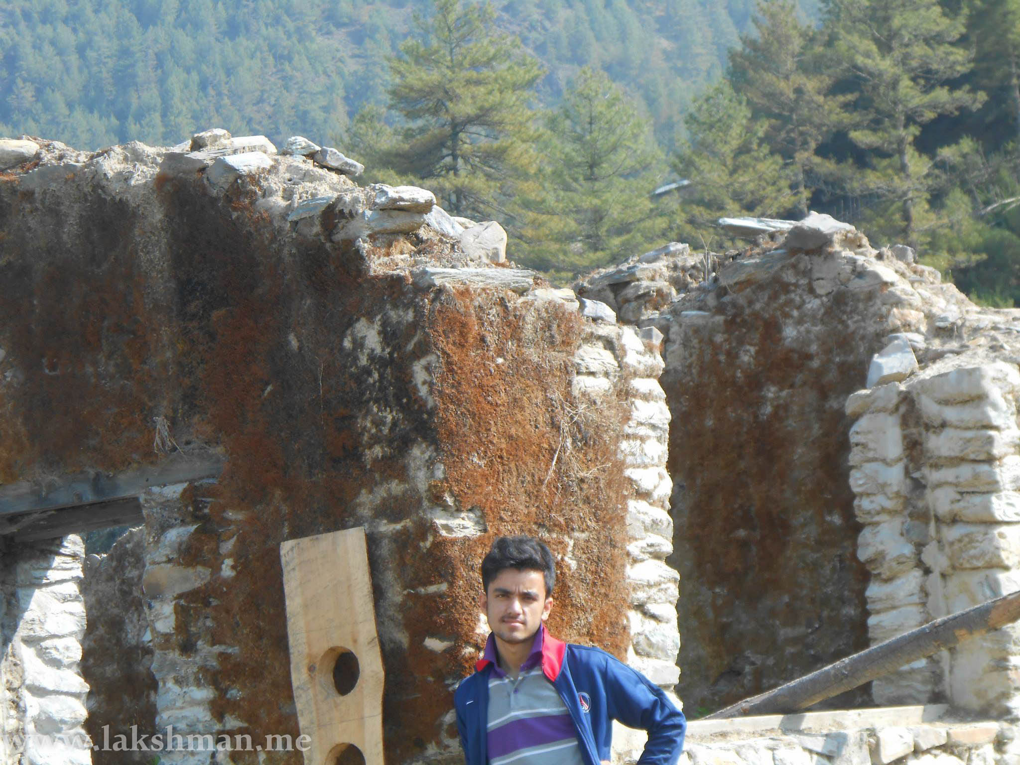
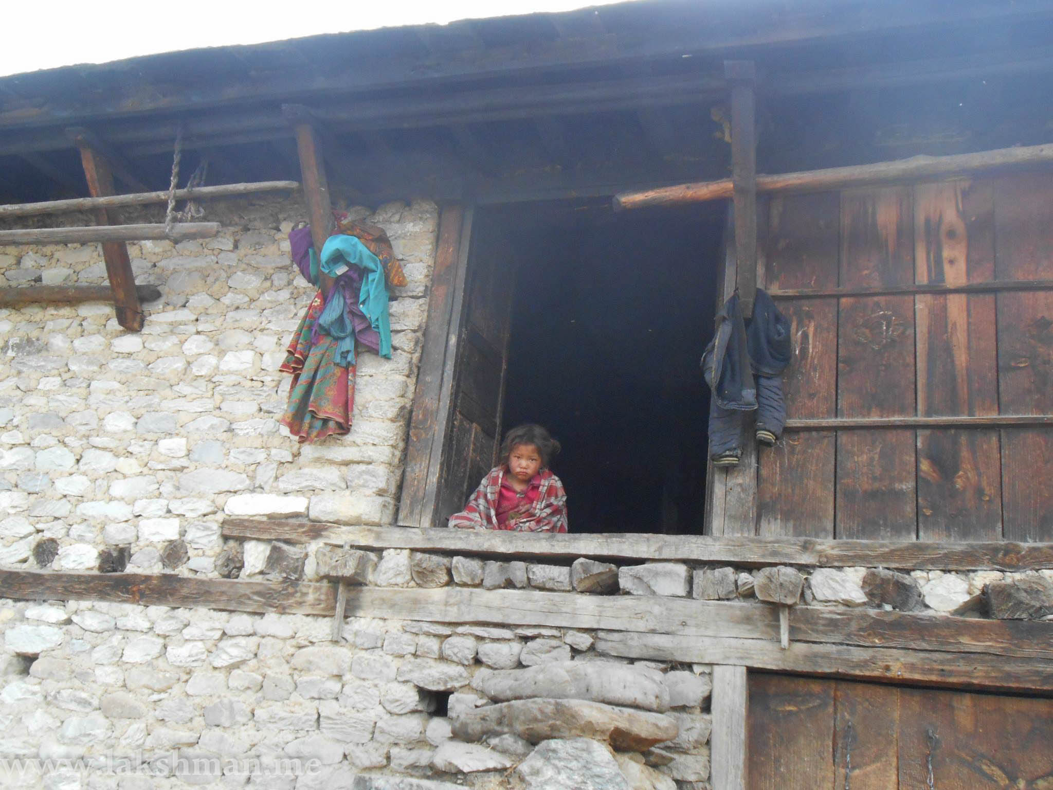
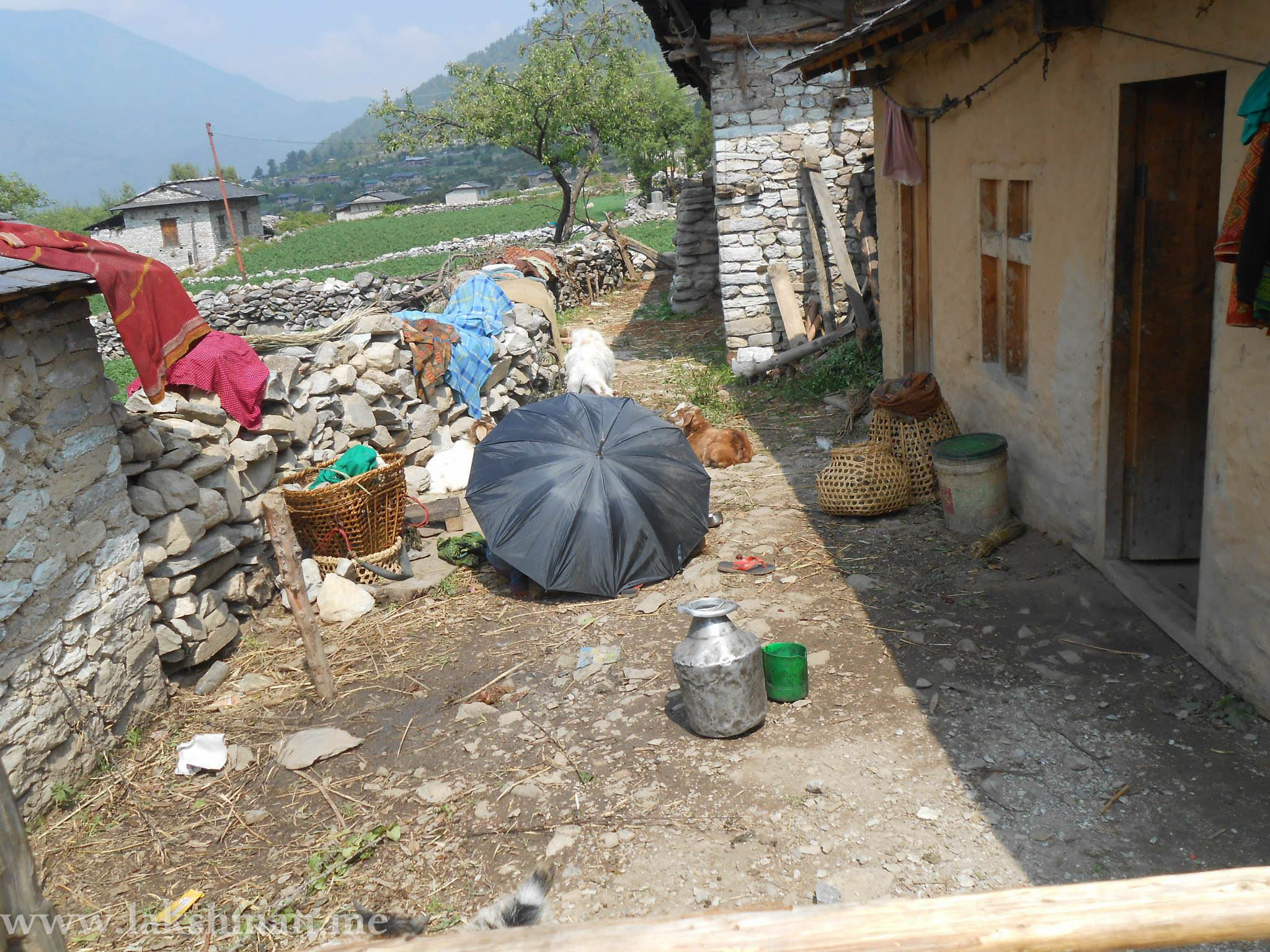
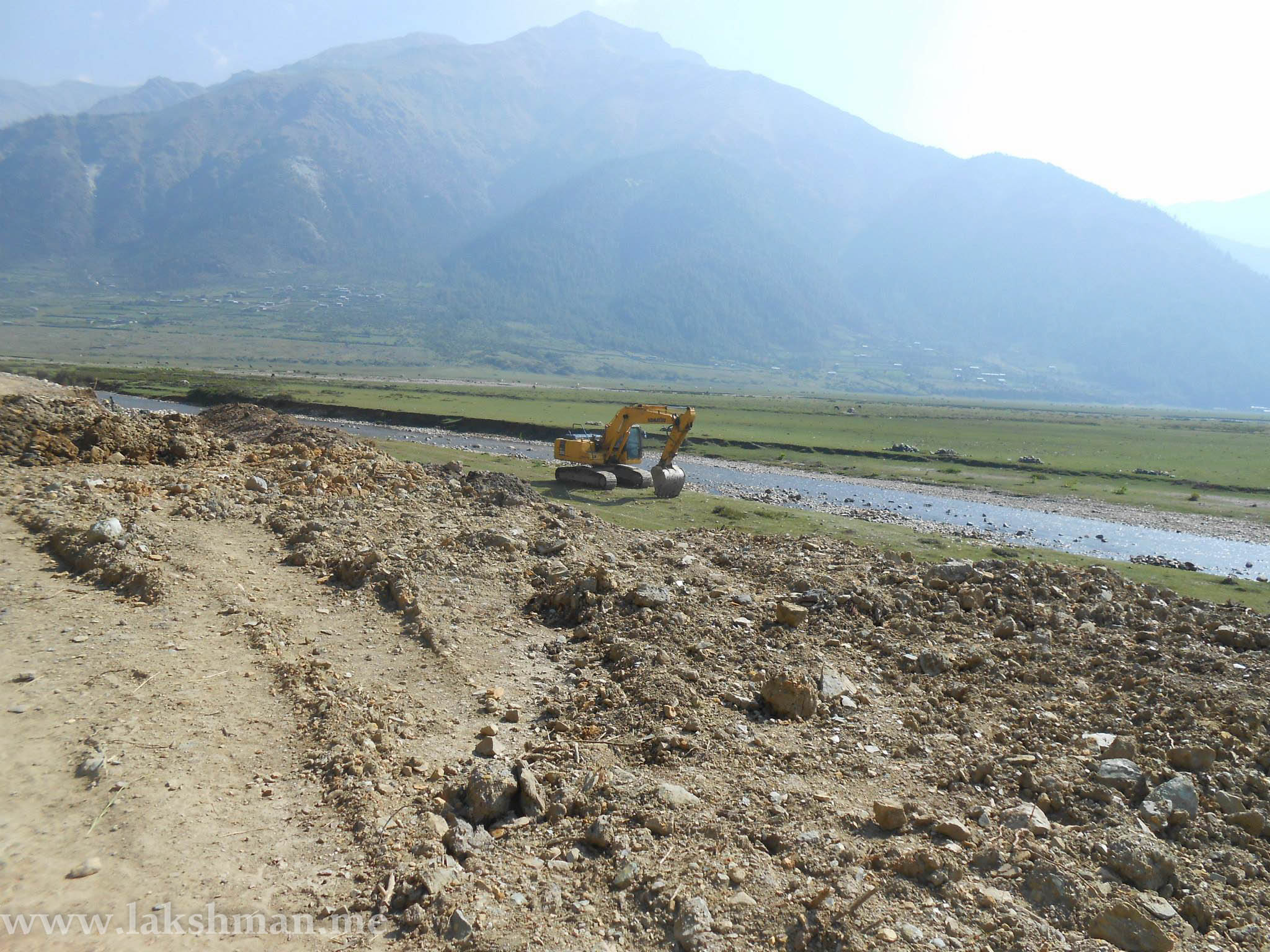
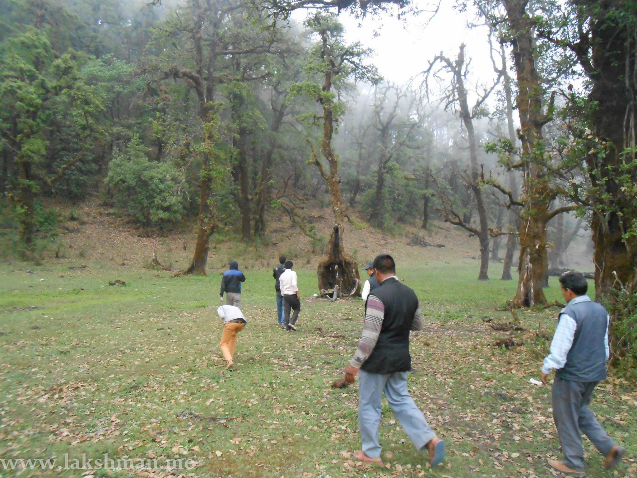
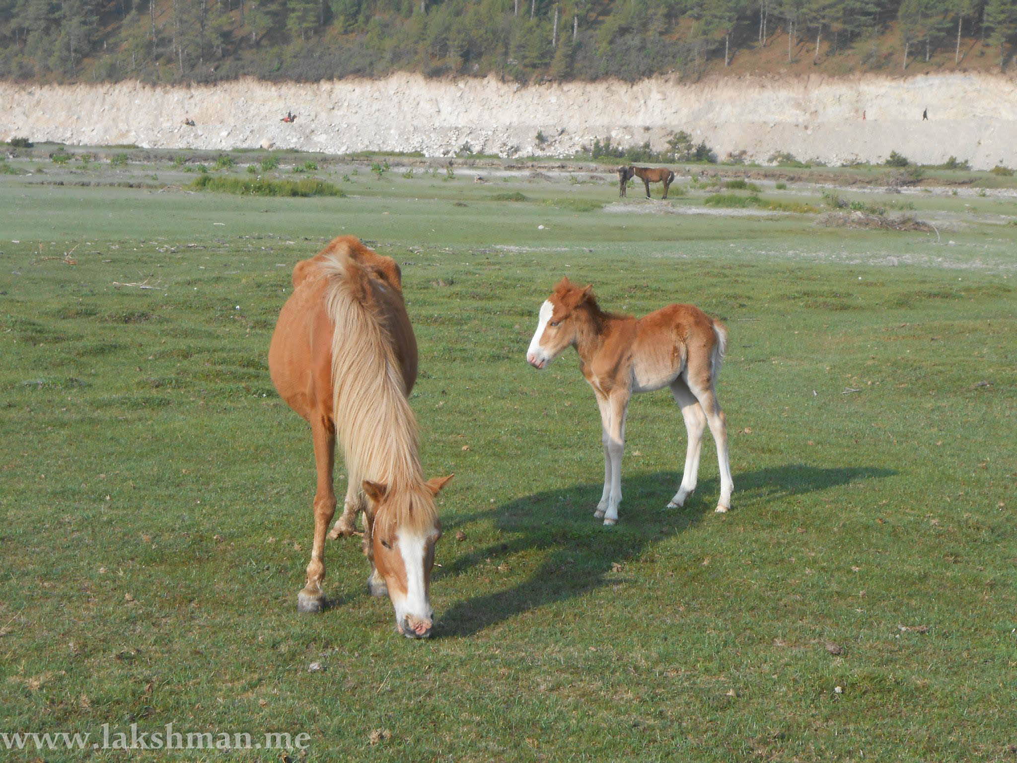
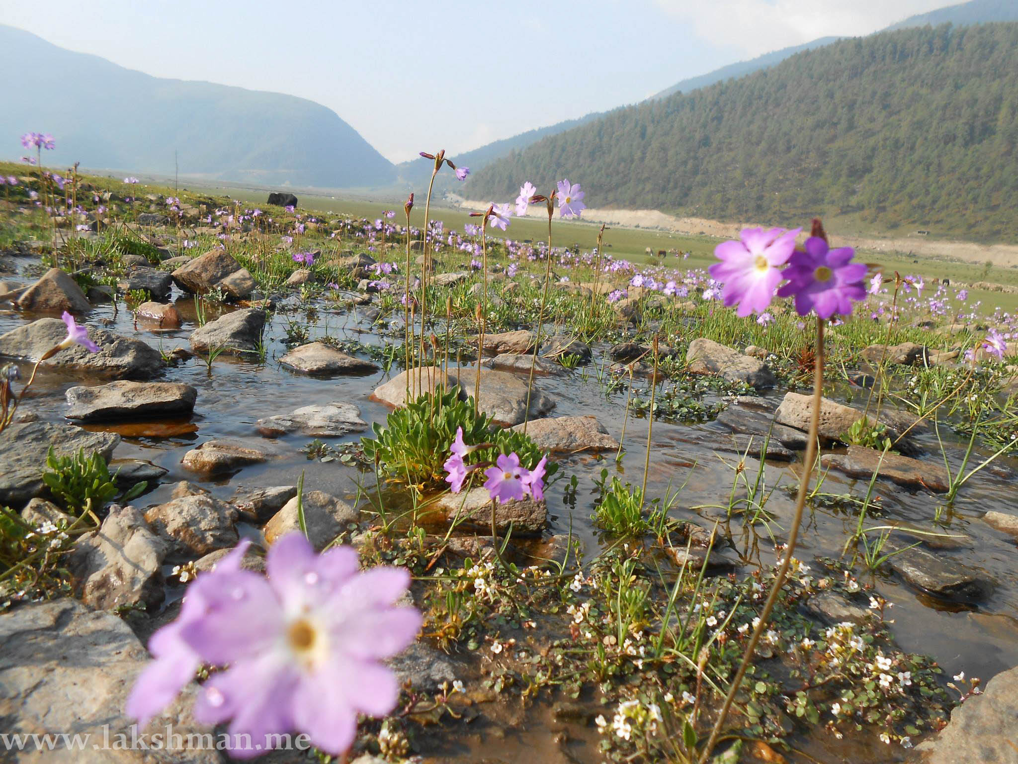
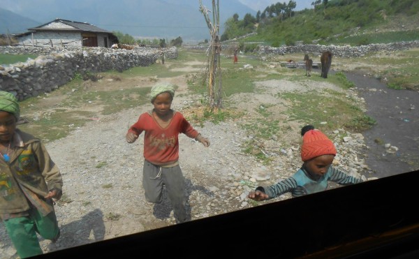
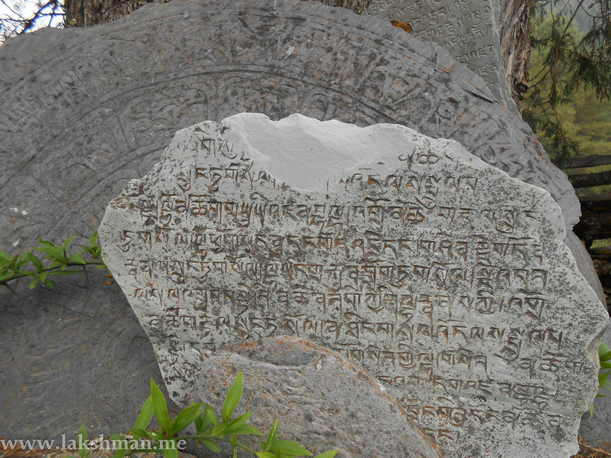
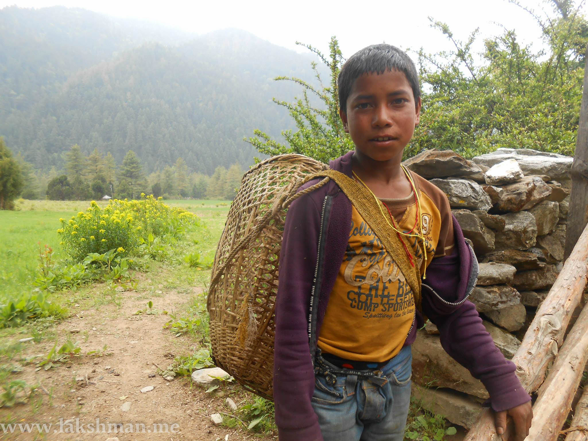
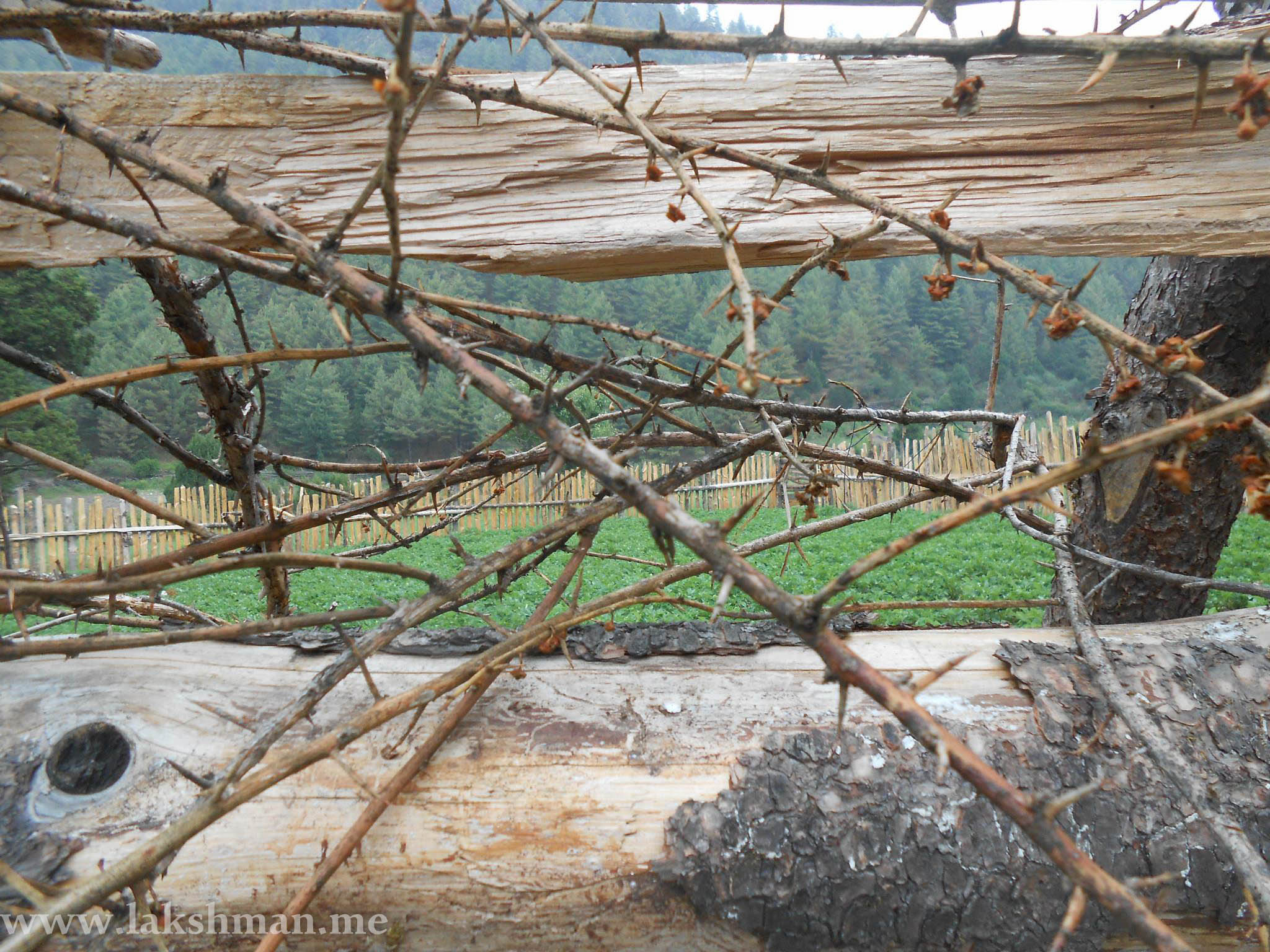
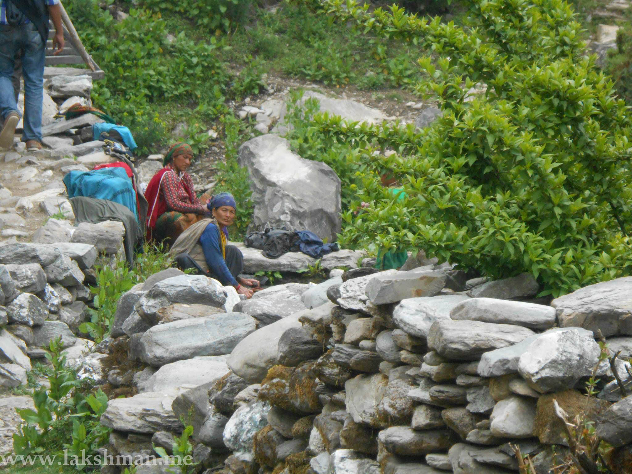
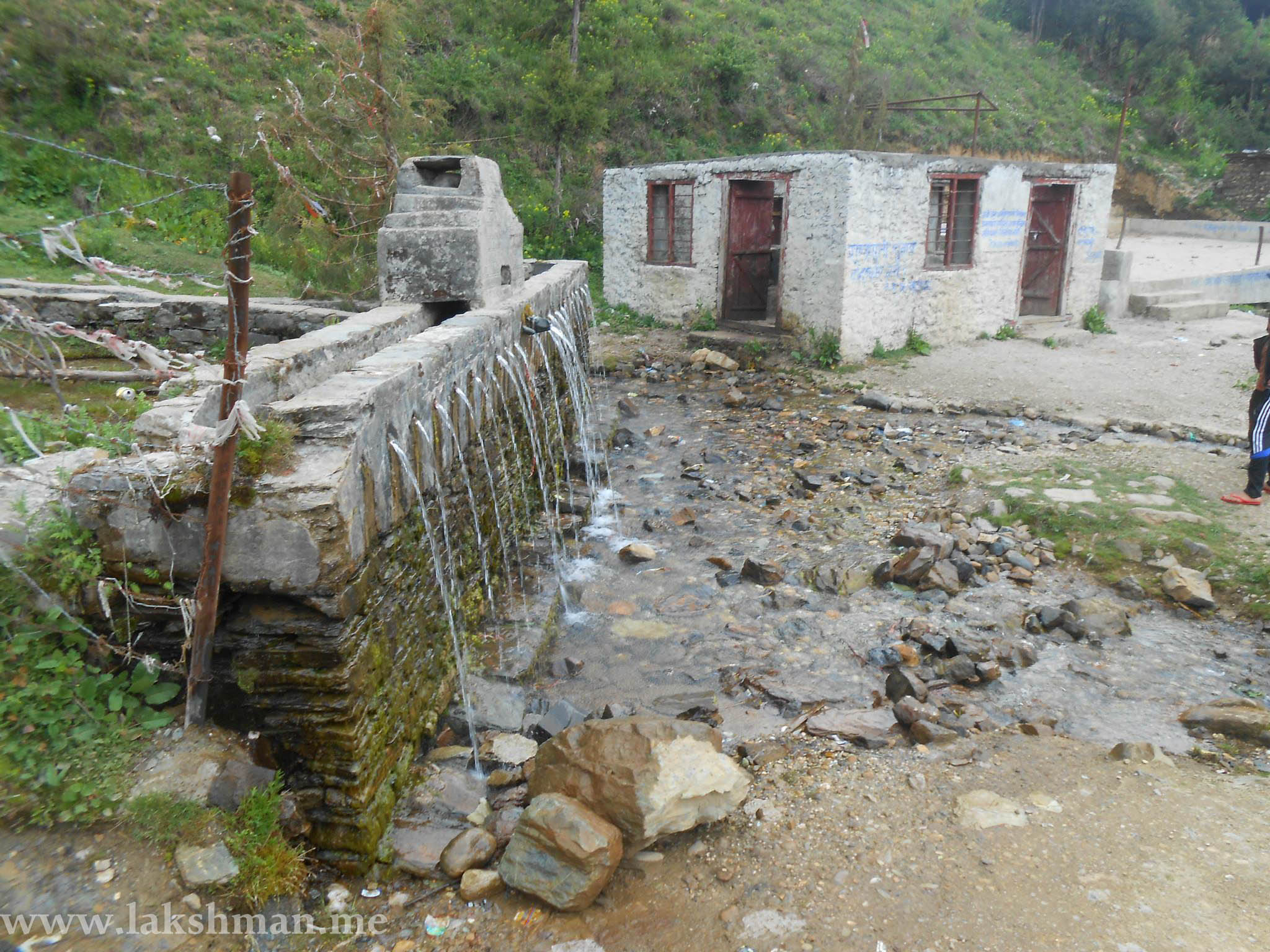
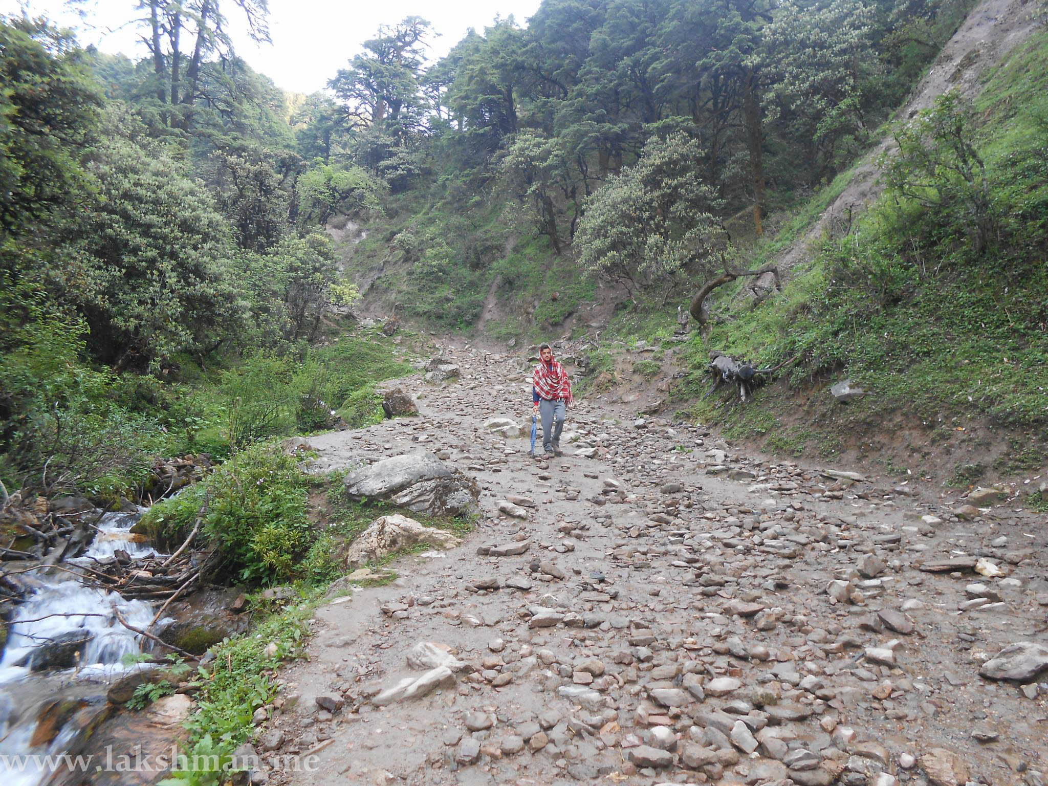
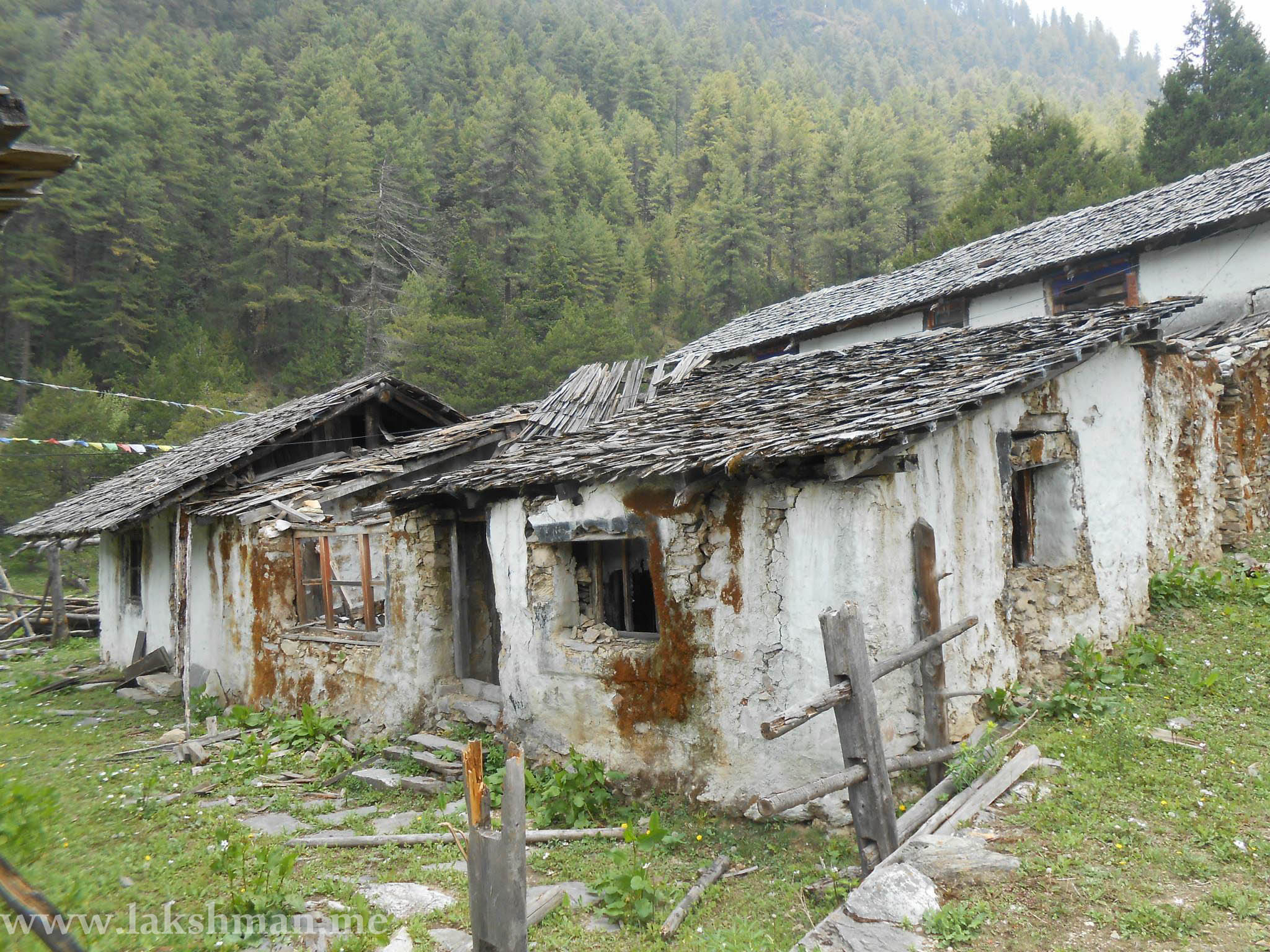
Photo Gallery of Dhorpatan Hunting Reserve
You might like some photos from Dhorpatan I captured:
If you have any feedbacks, leave in the comment below!